

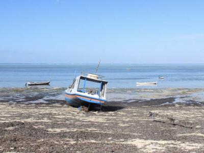
As an archipelago nation located between the Indian and Pacific Oceans, Indonesia consists of 17,508 islands stretches near the equator from a latitude of 06°08N to 11°15S, and a longitude of 94°45E to 141°05E. It includes 3.1 million km2 (or 62 per cent) of territorial waters, almost 2 million km2 (or 38 per cent) of land, and 81,000 km of coastline. The country is divided into 27 provinces, 243 districts, 62 municipals, 3844 sub-districts, and 65,852 villages. With a population of over 245 million people, it has the second highest population in the region and fourth in the world (CIA, 2011). Its human development ranking of 108 of 169 (UNDP, 2010) places it in the middle of the group for the region. The country’s 54,000 kilometers of coastline and over 17,500 islands makes the country particularly vulnerable to climate change effects such as sea level rise. As well, concern over water resources and extreme weather events has grown in frequency in recent years (USDS, 2010).
Projects Completed
Latest Updates
See all


Latest Publications
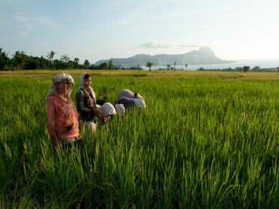
See allThe SPARC project in Nusa Tenggara Timor Province was piloted in 21 climate- vulnerable villages in three districts (Manggarai, East Sumba…
