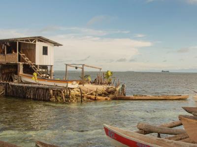
The Independent State of Papua New Guinea occupies the eastern half of the island of New Guinea as well as numerous offshore islands. With a land area of 462,840 square kilometers and a population of over 6.1 million, Papua New Guinea is the largest country in the Pacific region both by geography and population. It has an abundance of natural resources, with mineral deposits like copper, gold and oil accounting for nearly two-thirds of Papua New Guinea’s export revenues. Still, 85 per cent of the population relies on subsistence agriculture. The natural environment throughout PNG is extremely fragile and highly vulnerable to both natural and human impacts. During the last 50 years or so, increasing pressures on the resources are intensifying the country’s exposure to extreme events such as natural hazards like cyclones, droughts, earthquakes and tsunamis. In addition to these threats and pressures to the environments of PNG are the expected changes that may arise from climate change and climate variability, which will likely further exacerbate these impacts and deplete the resources that are most essential for basic life support systems. The natural environments of the country have developed a capacity over the years to adjust to human activity and changes to the climate. However, in the past few decades, the rapidly changing climate patterns, increasing population growth and intensity and levels of uses of natural ecosystems may affect the ability of these systems to respond to such change. PNG has already been buffeted by extreme weather and climate events such as those brought about by the El Nino in 1997/98 with further changes in temperatures and sea level rise predicted over the next 100 years. These events will lead to inundation of low lying inland and coastal areas, including the atoll islands, bleaching and loss of coastal defences. Loss of wetlands, changes to the fisheries, forestry and agriculture sectors, alteration to water resources and land use practices and impacts on health, particularly vector borne diseases such as Malaria other related water and air borne disease are also expected. As an island surrounded by the vast Pacific Ocean and the adjacent large land masses of Australia and Asia, the climate and weather pattern of PNG is heavily influenced by excess heating due to its proximity to the equator. Likewise, the biannual east–west circulation of warm air masses, weather patterns of Australia and the variable topography of the country with high mountain ranges also has an influence. In recent times, surface temperatures have increased by about half a degree Celcius since the mid 70s, while rainfall has reduced in some areas by as much as 15%. Nevertheless, there is still a relatively clear regional pattern of distribution. Sea level changes of up to 30 mm per year have been directly related to El Nino Southern Oscillation (ENSO).
Projects Completed
Latest Updates
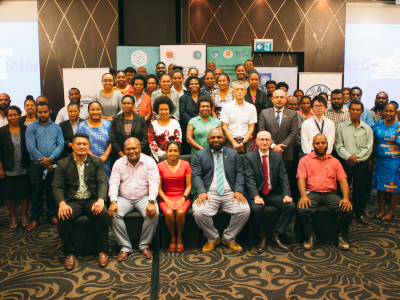
See allPapua New Guinea showcased its commitment to global climate action by being one of the first countries, to submit its…
For the island nation of Papua New Guinea (PNG), climate change poses an immediate and ongoing threat to human life, livelihoods, and economic…
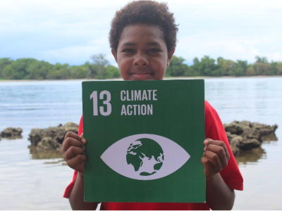
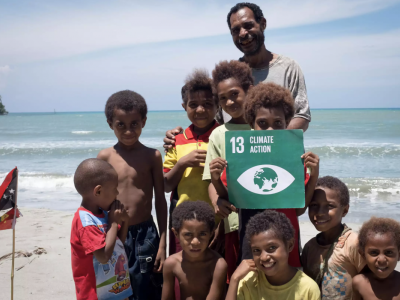
“I believe that if we don’t start doing things now, my country will be destroyed,” Vinzealhar Nen says when asked what motivates her to speak out…
Latest Publications
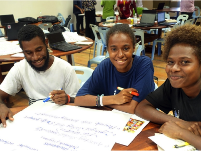
See allThis briefing on the process to formulate and implement the National Adaptation Plan in Papua New Guinea (PNG) considers firstly the country…