

Egypt’s large population makes the country extremely vulnerable to climate change. Moreover, its densely populated Nile delta is seriously threatened by sea level rise. Climate change will also have its impact on citizens’ health, and studies have been undertaken in an attempt to analyze possible adaptation measures. Vulnerability assessment studies in priority sectors have been undertaken as part of the process of developing the national action plan. The studies have indicated that the following areas are the most vulnerable in order of severity and certainty of results: agriculture, coastal zones, aqua-culture and fisheries, water resources, human habitat and settlements, and human health.
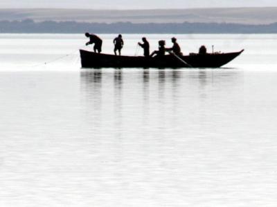
Egypt is a unique country with respect to its water resources. More than 95% of the water budget of Egypt is generated outside its territory. Although we can not yet predict the impact of climate change on the Nile Basin, there are indications that the impacts will be significant. Any decrease in the total supply of water, coupled with the expected increase in consumption due to the high population growth rates will have drastic impacts. Water management is thus one of the most important adaptation actions. Adaptation of supply includes measures to improve rain harvesting techniques, increase abstraction of ground water, recycle water, desalinate water, improve its transportation and rationalize its use. Meanwhile, adaptation of demand requires minimizing the need for water and optimizing the economic return of its unit volume.
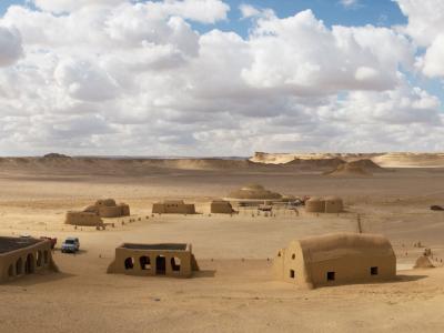
Egypt is located in northern Africa, bordering the Mediterranean Sea between Libya and Gaza strip, with a coastal strip extending for about 3,500 kilometers, overlooking the Mediterranean Sea in the north, and the Red Sea in the east. The dominant feature of the northern coastal zone is the low lying delta of the River Nile, with its large cities, industry, flourishing agriculture and tourism. The delta and the narrow valley of the Nile comprises 5.5% of the area of Egypt, but has over 95% of its people and its agriculture. Egypt’s Mediterranean coast and the Nile Delta have been identified as vulnerable to seal level rise.
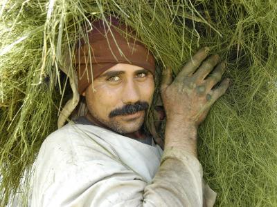
Egypt’s climate is semi-desert characterized by hot dry summers, moderate winters and very little rainfall. The country is characterized by particularly good wind regimes with excellent sites along the Red Sea and Mediterranean coasts. Egypt has only one main source of water supply, the River Nile, which supplies over 95% of the water needs of the country. There is some winter rain in the delta and along the Mediterranean coast, west of the delta. Non-renewable underground fossil water supplies are accessible outside the river valley, especially in the oases. Consequently, agricultural development is closely linked to the River Nile and its management. The Nile waters originate outside Egypt, flowing through nine countries. Egypt’s use of the Nile water is controlled by international agreement. Massive projects to divert some of the Nile waters to Northern Sinai, and to Toshka depression, in the extreme south of the country, are underway. Consequently, the water needs of the country are growing rapidly.
Active Projects
Latest Updates
See all


Latest Publications
See all