It is recognised that development and social changes have placed pressure on sensitive environmental systems and sectors of the Cook Islands and therefore adverse impacts of anticipated changes in climate and sea level rise will further exacerbate the stress on these systems. For the Cook Islands to respond successfully and implement appropriate adaptation strategies each major sector has identified information gaps and capacity building requirements that must be addressed.The most vulnerable sectors identified are agriculture and food security, coastal zone and coral reefs, marine resources, water resources and biodiversity.
The Cook Islands comprises 15 small islands scattered off the northeast coast of New Zealand. The islands are divided geographically along a line between Palmerston and Suwarrow into a Northern Group (six islands) and a Southern Group (nine islands). The total land area is 240 sq. km with over 88 per cent (214 sq. km) of the area in the Southern Group. The Exclusive Economic Zone (EEZ) of the Cook Islands covers approximately 1.8 million square kilometers of the South Pacific Ocean. The population is primarily gathered on the island of Rarotonga. Tourism is by far the country's main industry, with other industries such as pearls, offshore banking and the export of marine and fruit products.
Projects Completed
Latest Publications
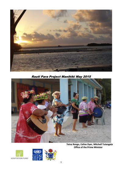
See allReport on initiative funded under the Adaptation Fund-financed project 'Strengthening the Resilience of the Cook Islands to Climate Change'