As outlined in Armenia's National Commmunication (1998) climate change will cause significant negative consequences for the nature of Armenia. Thus, the application of measures and approaches, directed to the maximum reduction of these consequences and cease of the environmental degradation processes should become the important component of the strategy in responding to climate change.
Basic adaptation measures for the natural ecosystems of Armenia are the following:
- Creation of optimal landscape-zone structure for the republic as a whole (increase of the forest share given the preservation of landscape diversity);
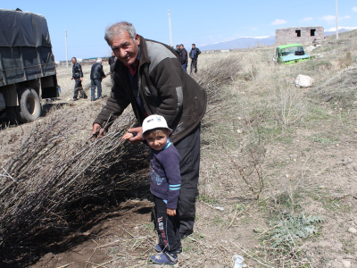
- Gradual increase of forest cover area for 266500 ha by the year 2050, i.e. from present 11.2 % of territory up to 20.1 % through annual forest planting, including the area of protective woodland belt for 5300ha; making of a large-scale timber industry plantations of accelerated rotation; application of integrated system of forest protection from pests, illnesses, weeds, cuttings, cattle pasture, fires, etc.
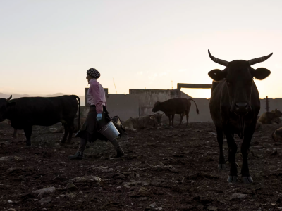
- Allocation of reserves and specially protected natural territories for the mitigation of general anthropogenic pressure on vulnerable ecosystems, including intrazonal coastal cenoses of desert and semi-desert zones, and also the Alpine communities for the realization of their own adaptability at forecasted climate change;
- Introduction of endangered species, which are in proper (similar) biocenoses, which will be preserved in case of the probable climate change;
- Preservation of genetic fund of the most vulnerable and valuable species by their maintenance and cultivation in artificial conditions, preservation of genetic material in seed banks, etc.
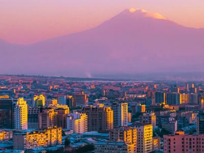
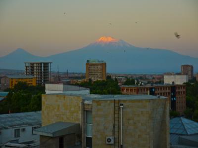
The Republic of Armenia is located in Southern Transcaucasus, on a joint of Caucasus with Forward Asia and occupies a small part of the extensive Armenian plateau. On the North and East Armenia borders with Georgia and Azerbaijan, on the West and South-East with Turkey and Iran accordingly. The Republic does not have access to sea. The Republic of Armenia has an area of 29800 km2, which is approximately equal to the territory of Belgium and Albania. The greatest extent from North-West to South-East is 360 km, and from West to East - 200km. The capital of the country is Yerevan.
Armenia is a typical mountainous country. About 90% of its territory is over 1000m above sea level, including 40% - over 2000m. Average height of territory makes 1830m, the highest - 4090m, the lowest - 350m.
Geographical situation of Armenia, complex mountain relief and high-altitude zoning of territory have caused unique variety of natural conditions and natural resources. The territory of Armenia is specific for strongly pronounced vertical alternation of six basic climate types - from dry subtropical up to severe Alpine, and temperature contrasts. In the low-lands the average air temperature in July and August reaches 24-26oC, and in the Alpine belt the temperature does not exceed 10oC. In January, depending on the height and peculiarities of the relief, the temperature varies within the bounds of 1-13oC. In Armenia the absolute maximum and minimum temperatures reach 41oC and -42oC.
In general, Armenia is distinguished by aridity - the average annual precipitation here reaches 570 mm. The significant part of the territory - over the 60% - receives less than 600 mm, 20 % - less 400mm, and on the bottom of the closed basins - only 200-300mm.
Armenia lays in the same geographic breadth as Spain, Italy and Greece, that is in a subtropical zone. Therefore one of the most characteristic features of its climate is intensity and abundance of solar radiation, which, accordingly, make 1.46 cal/cm2 and 2500 hours per year.
Active Projects
Projects Completed

Latest Updates
See all
Latest Publications
See all