Ecuador’s National Adaptation Plan has made major headway since the Green Climate Fund (GCF) approved the proposal and the programme began with implementation support from UNDP.
Amidst the global pandemic in 2020, many countries are stretched thin between dealing with the growing health crisis and addressing the urgent need to protect the environment, natural resources and the livelihoods that depend on it. This year also brings countries back to the table to raise the ambition of their Nationally Determined Contributions (NDC).
 Despite the demands of 2020, Ecuador has made strides in the implementation of its National Adaptation Plan (NAP) that has also contributed to the adaptation component of its NDC. As a supporting partner of Ecuador’s climate change adaptation (CCA) work, UNDP sat down with Mr. Humberto Re Carrera, the Undersecretary of Climate Change of the Ministry of Environment and Water of Ecuador to learn more about what’s been achieved so far. Mr. Carrera is an environmental engineer with a master’s degree in wastewater treatment and recycling engineering. Over his 12-year professional career in the public, private and NGO sectors, he has worked on various environmental issues and has five years in climate change management.
***
UNDP: How is Ecuador’s National Adaptation Plan going so far, and where is the country at in the whole process as of 2020?
Humberto Re Carrera: As of April 2019 and during the first semester of 2020, the NAP Programme focused on supporting the integration of the CCA component in the updating phase of the Development and Land- Use Plans (PDOT) of the Decentralized Autonomous Governments at subnational level in four regions of the country. We have strengthened the capacities of technical staff from local governments, national institutions, academics and in the use of tools to integrate CCA into local plans, programs and projects, by carrying out short climate risk studies. The NAP has provided technical assistance and support in the formulation of the adaptation component of the Implementation Plan in the first Nationally Determined Contributions of Ecuador (NDC).
In 2020, we have conducted activities contributing to the integration of CCA into the development planning at sectoral level[1] by supporting various national institutions. Additional activities that have been carried out this year include collecting relevant technical inputs, which facilitate the subsequent development of climate risk analysis by a team of specialists. We look forward to the updating phase of future climate scenarios and employing the high-resolution models that are used by the Intergovernmental Panel on Climate Change.
UNDP: The NAP has supported the development of a set of tools to integrate adaptation. What have been some of the key milestones in the toolbox and how has it supported local governments in particular?
Humberto Re Carrera: The NAP programme has contributed to the development of the toolbox for the integration of CCA in the updating of the PDOT of Ecuador. In order to disseminate these technical instruments and strengthen the capacities of the technical staff in charge of the PDOT updating process, a training program was developed based on the contents of the aforementioned Guides and Toolbox.
These instruments contribute to the integration of adaptation in the development of the planning processes at the local level. In this context, more than 500 technicians from sectoral institutions were trained through eight face-to-face events, five virtual courses and two webinars developed between December 2019 and June 2020.
UNDP: The GCF NAP programme will ultimately enable reducing vulnerabilities of communities and assets throughout Ecuador, how are you planning to integrate adaptation or the NAP at the local level?
Humberto Re Carrera: The programme focuses on generating enabling conditions for the management of CCA and its integration into the planning of sectoral and local development through capacity building processes in various territories (directly linked with vulnerable communities and local experts). It also promotes the dissemination of tools, instruments and management standards, useful for subnational governments. The programme generates information on the future climate through climate risk studies, feasible to be used by local actors.
For the strengthening of technical capacities, we have plans to carry out trainings, both face-to-face and virtual with local actors. In addition, we have forthcoming plans with the NAP to design a curriculum for a Master’s Degree in Climate Change at the IKIAM Amazon Regional University, which aims to reach more students from that region of the country.
UNDP: How is Ecuador’s NAP related to the adaptation component of its Nationally Determined Contribution and how has it supported raising ambition of Ecuador’s NDC in 2020?
Humberto Re Carrera: The NAP programme is providing technical assistance and advice throughout the whole process of formulating the adaptation component of the Implementation Plan for the NDC, which includes identifying related initiatives, establishing goals and indicators, and their respective cost analysis. Ecuador’s NDC is a key management instrument supporting the fulfillment of the national commitments stipulated in the framework of the Paris Agreement. It is expected that the NDC will operationalize the development of relevant activities associated with each goal.
Additionally, it facilitates the corresponding process of Measuring, Reporting and Verification (MRV) of goals and indicators, associated with the adaptation measures included in the NDC for the six prioritized sectors for adaptation in Ecuador. In fact, with the support of the NAP, several goals contained in the aforementioned Implementation Plan have already been met by the responsible entities and the NAP programme will support the fulfillment of other goals through to 2022.
The methodological guidelines outline effective inclusion of the gender approach in the programmes and projects that are related to the adaptation component of the Implementation Plan of the NDC. The aforementioned guidelines will also allow the incorporation of the gender approach in other initiatives, actions and products developed by the NAP programme.
***
To finance NAPs and CCA work at the national, sub-national and community levels, UNDP has supported 25 countries since 2017 to secure climate change adaptation financing that is available through the Green Climate Fund Readiness and Preparatory Support Programme. With financial support from the GCF, Ecuador and UNDP have worked together since 2018 to build the pathway for Ecuador to formulate and implement its National Adaptation Plan.
***
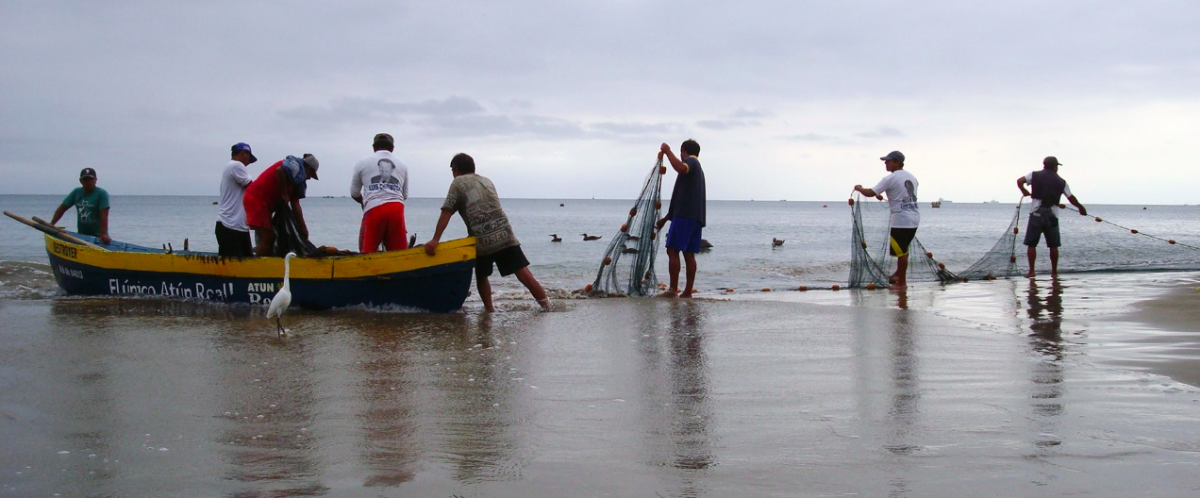
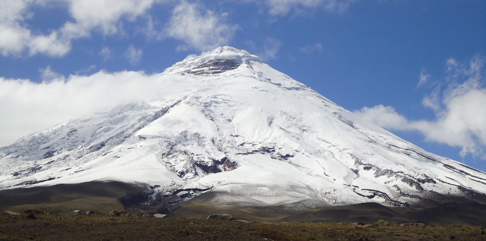
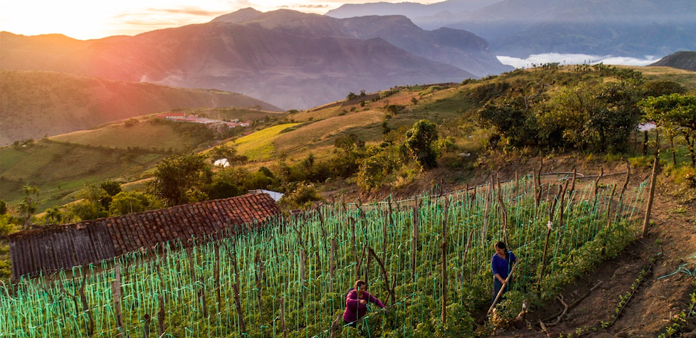
Photos below are provided by the Ministry of the Environment and Water of Ecuador to show the versatile landscapes, natural resources and sectors of Ecuador.

[1] The sectors prioritized by the National Climate Change Strategy of Ecuador (ENCC 2012 - 2025) for adaptation to climate change are: Natural Heritage; Water Heritage; Food Sovereignty, Agriculture, Livestock, Aquaculture and Fishing; Health; Human settlements; and Productive and Strategic Sectors.