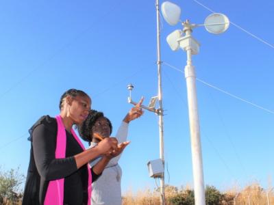
Zambia has been experiencing adverse impacts of climate change - including an increase in frequency and severity of seasonal droughts, occasional dry spells, increased temperatures in valleys, flash floods and changes in the growing season. In response to these impacts, Zambia is working to develop sustainable and appropriate programmes for both crops and livestock in the face of climate change. Some of Zambia's adaptation measures include: promotion of irrigation and efficient use of water resources, strengthening early warning systems and preparedness, and using GIS/remote sensing in mapping of drought and flood prone areas.
Zambia is a landlocked Sub-Saharan African country sharing boundaries with Angola, Botswana, the Democratic Republic of Congo, Malawi, Mozambique, Namibia, Tanzania and Zimbabwe (MTENR, 2002). It belongs to the Least Developing Countries (LDC) and has a total surface area of about 752,614 km2 and lies between 8 ° and 18 °south latitudes and longitudes 22 °and 34 ° east.
Zambia’s population in 2000 was 9.8 million with a growth rate of 2.4% between 1990 and 2000 according to the Central Statistics Office. About 39.2% of the population lives in the urban areas making Zambia one of the highly urbanized countries within the Southern African Development Community (SADC) region. Compared to its neighbors, Zambia’s life expectancy of 36 years was the lowest in 2003 perhaps due to impacts of the structural adjustment programme (SAP) adopted by Government in 1991 and the HIV/AIDS pandemic.
Active Projects
Projects Completed
Latest Updates
See allLatest Publications
See allThis case study was carried out under the Integrating Agricultural Sectors into National Adaptation Plans programme (NAP-Ag) with the aim of…


