

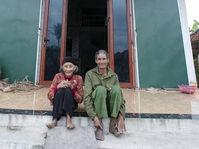
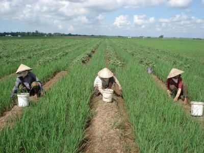
Viet Nam covers an area of over 331,000 square kilometers and has an estimated population of 90.5 million people—making it the 14th most populated country in the world (CIA, 2011). It lies from 8o27 to 23o23 N and from 102o08 to 109o30E. Three quarters of Viet Nam is covered by mountains and hills and the rest is plains. Based on topography Viet Nam is divided into seven regions: Northern upland, Red River Delta, Northern Central Coast, Southern Central Coast, Central Highland, Northern East of the Sourh and the Mekong Delta. There are 2360 rivers in Viet Nam including the Red River and the Mekong River. Viet Nam is considered to be vulnerable to climate change, particularly in terms of its water resources, agriculture, forestry, energy, aquaculture and human health. It has a monsoon tropical climate with high humidity and hot temperatures. It is affected by many typhoons and tropical cyclones, on average there are about five per year. About 80-90% of the rainfall occurs during the rainy season. In several of the regions there are floods during the rainy season and droughts during the dry season.(First National Communication for Viet Nam, 2003). While Viet Nam is working to modernize its economy, agricultural production continues to generate about one-fifth of the country’s Gross Domestic Product (GDP; in 2010) and this sector continues to employ 53.9 per cent of the labor force (in 2009). By comparison, industry generated about 41.1 per cent of GDP, and services generated 38.3 per cent (in 2010). Deep poverty has declined significantly in recent years, and was estimated to be 10.6 per cent in 2010 (CIA, 2011). Viet Nam’s 2010 Human Development Index ranking was 113 of 169 countries (UNDP, 2010).

Projects Completed

Latest Updates
See all


Latest Publications
See allIn Viet Nam, coastal communities are on the front lines of climate change, enduring its harshest impacts. Led by the Government with support from…
